Grounded on the Coventry canal
I was going to write a nice post describing my cruise along the whole length of the Coventry canal, but the weather gods had other plans. There has still been no significant rain and the water situation has only deteriorated further. Most locks in the Midlands have now closed to preserve what little water there still is and keep boats afloat. The Canal & River Trust sent everybody an ominous email that more closures may be coming and to either return to our home moorings or stay in a place, where we’d like to be marooned, when the time comes. This is an unprecedented situation in many decades. I chose the worst year ever for this trip!
I had to make a decision what to do. Returning to my home mooring is out of the question (there are closures preventing that anyway), so I was looking for a good place to ride this out. I decided to give up on my trans-Pennine plans at least for the spring. There are at least four closures preventing this route at the moment including the whole length of the Leeds & Liverpool canal. This canal crosses the hills of the Pennines and often has water issues even in a normal season. It is very unlikely that even a wet winter would fill up the reservoirs enough to open up the whole length in the spring. Opening up only part of it wouldn’t help me as my goal is getting all the way across the Pennines to Yorkshire. There is another route to go to Yorkshire via the (tidal!!) river Trent, so that’s my plan B for now.
So on to finding a place to stay. I settled on a fairly long lock-free stretch around Tamworth/Lichfield, which has services, a fuel boat and is near a town with shops etc. As it is at the bottom of the locks I thought the water situation wouldn’t be too bad here. Unfortunately since my arrival the water has been falling by up to an inch per day. If this continues I will be grounded soon, which will make everything so much more difficult, but there is not much I can do now.
Anyway, this is likely to be my last post for a while as cruising is suspended, but I do want to tell you a bit about my trip on the Coventry canal up to this point.
History of the Coventry canal
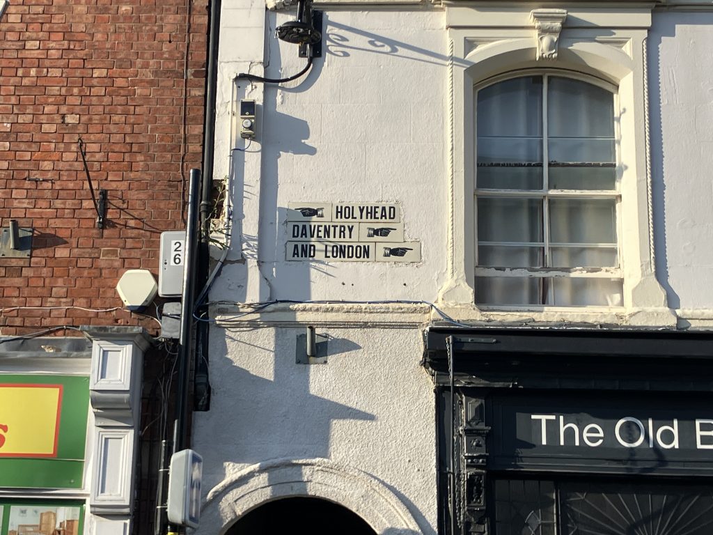
A little bit about its history: the Coventry canal today connects the Trent & Mersey canal in the North, the Ashby and the Birmingham & Fazeley canals in the middle and the North Oxford canal in the South. It provided an important route connecting Birmingham and London, the industry in the North of England and ultimately ports on the Trent/Humber and the Mersey.
The building of the canal was a rather lengthy process. The first part was the Southern section from Coventry to the top of the Atherstone locks (about 10 miles) completed in 1771. Then the company ran out of money. The Trent & Mersey canal company funded the Northern section reaching from its own junction (Fradley junction) down to Fazeley junction (11 miles), built in the 1770s. Then the work stalled for 10 years. Eventually the Birmingham & Fazeley canal company stepped in and built the connecting bit in the middle, completed in 1790 (this is the section I am on now!). Today the middle part is technically still part of the Birmingham & Fazeley canal, which can be a bit confusing when navigating by disjointed bridge numbers.
Coventry
Starting from Hawkesbury junction, which is the junction with the North Oxford canal, my first journey took me four miles into the heart of Coventry. The approach was less industrial than I had expected, more leafy suburbs mostly. Travelling through the suburbs it was obvious that there were some areas with a high number of Indian residents. I used to moor close to Southall in London, so am very familiar with the fact that Hindus use watercourses for ceremonies a lot and the canal is used for this purpose also in Coventry. One sign of this was lots of coconuts bobbing on the water, which are a symbol for good fortune apparently. I even witnessed some kind of ceremony going on with a long queue of people on the towpath getting blessed(?) and throwing twigs into the canal. I don’t understand what the ceremonies mean, but it’s clear that the residents have a close connection to the water. Out of respect I am not going to post the pictures that I took surreptitously!
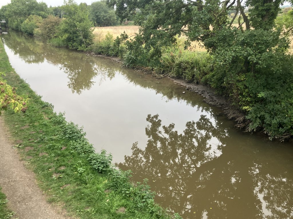
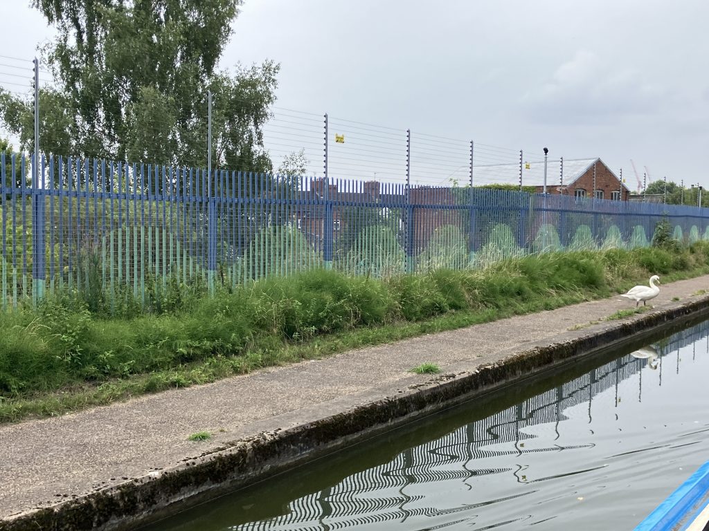
Cruising through the suburbs I loved the wavy water design of a number of fences.
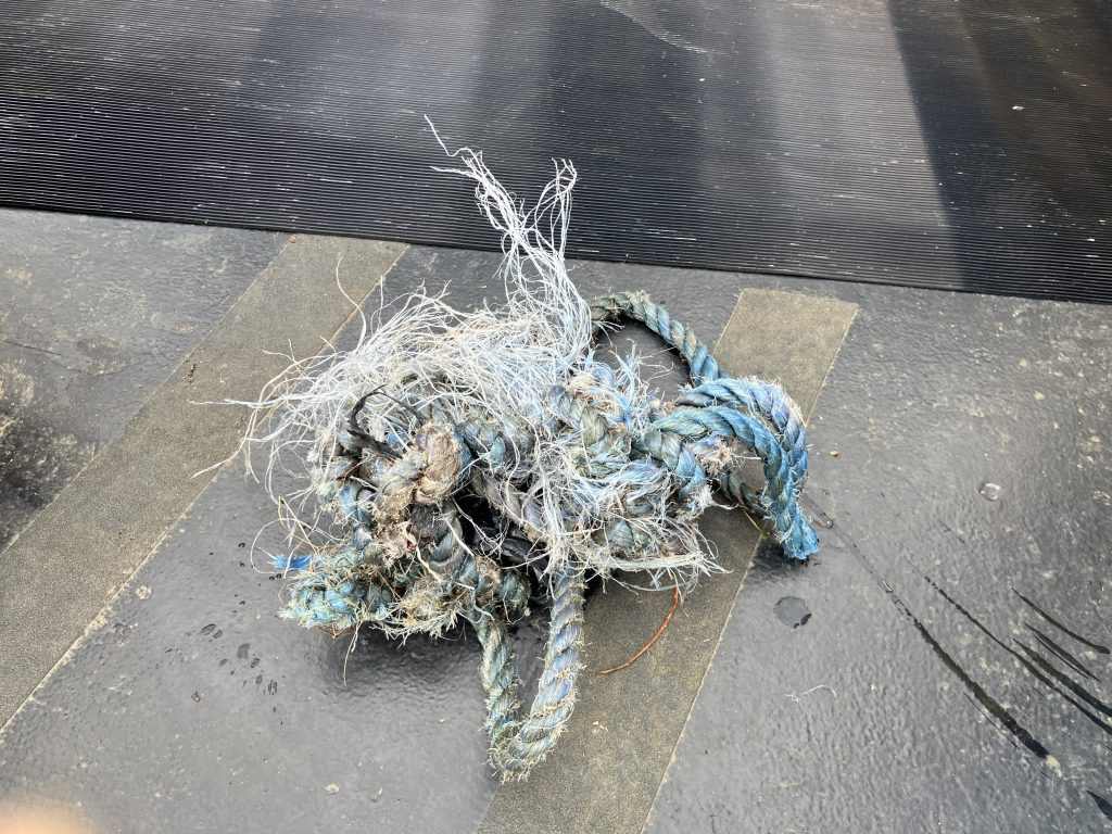
I expected more rubbish in the water as is usually the case in any urban canal. There was a lot less rubbish than in some areas of the London canals. But I did have an encounter with a long piece of blue rope around my propeller.
It doesn’t look much in the picture, but it was tough stuff and tightly wound around the propeller shaft. Removing this requires sawing at it with a bread knife upside down.
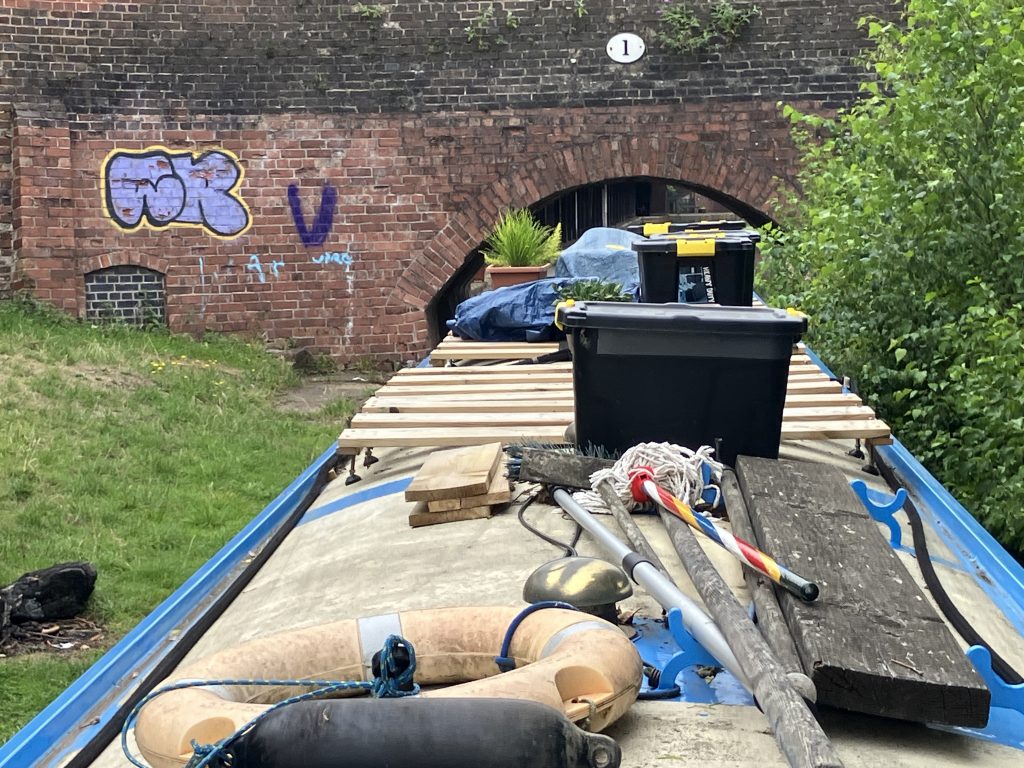
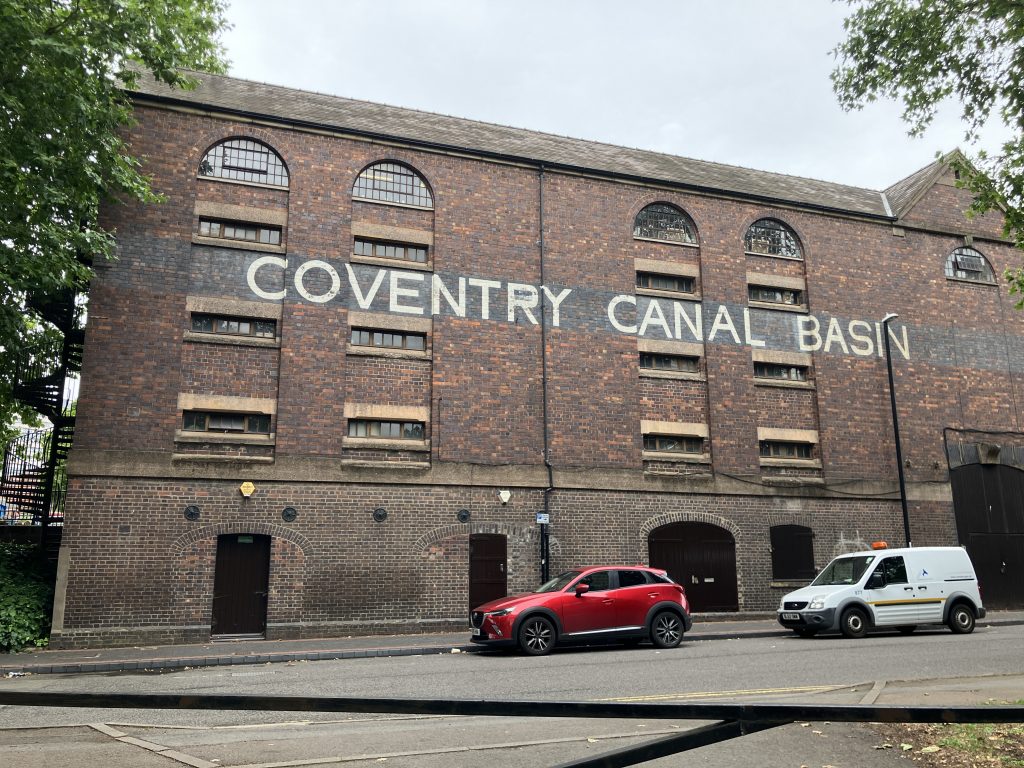
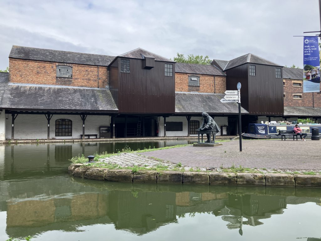
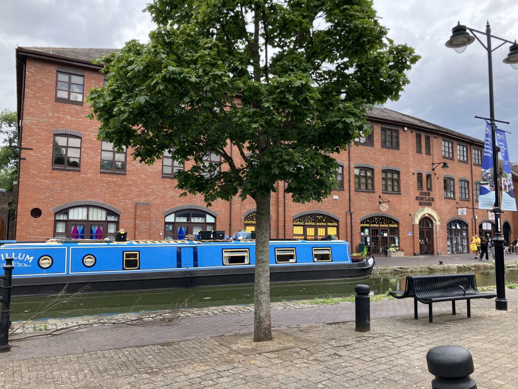
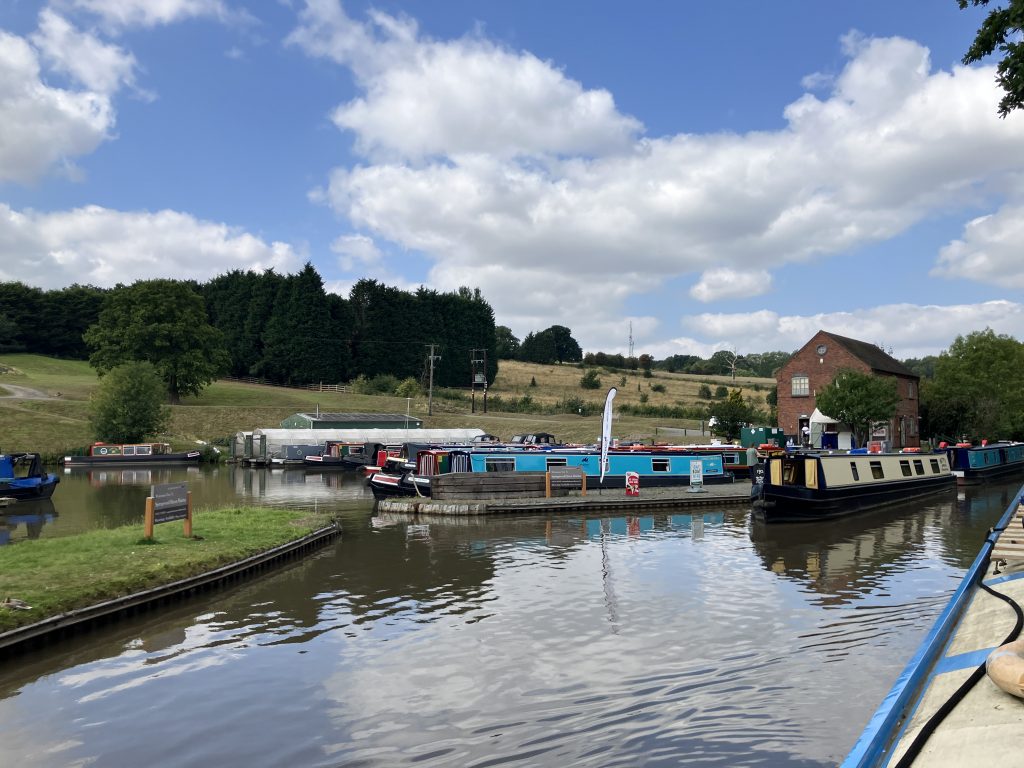
Unlike in other cities, the Coventry canal terminus is only about 10 minutes walk from the city centre and done up very nicely. The entrance to the basin, however, is a tiny bridge, which almost caught me out as the other bridges on this canal are wide and high.
This bridge used to be blocked off at night, when the basin was in use by working boats to prevent boats entering the basin at night. Today boats just need to take stuff off the roof. I am used to this by now.
Some impressions of Coventry canal basin:
Cruising the Coventry canal
From Coventry I backtracked to Hawkesbury junction and then branched off to the Ashby canal not far beyond that. I wrote about my jaunt up the Ashby in my last post. Returning from the Ashby canal I continued North. The Coventry canal is so much bigger than the shallow and narrow Ashby canal, but the water levels were pretty bad. My boat has quite a shallow draught, but the engine sounded like there wasn’t a lot of water under me.
I have cruised this canal twice in the past, but both times on the way back to London and with little time to appreciate it fully. This canal is actually quite beautiful too and this time I took some time for “sightseeing”.
When turning onto the Coventry canal from Ashby the first places to cross are Bedworth and Nuneaton. Despite both being sizeable towns, very little is visible from the canal. My impression of Nuneaton was that it consists entirely of allotments!
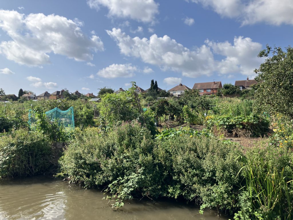
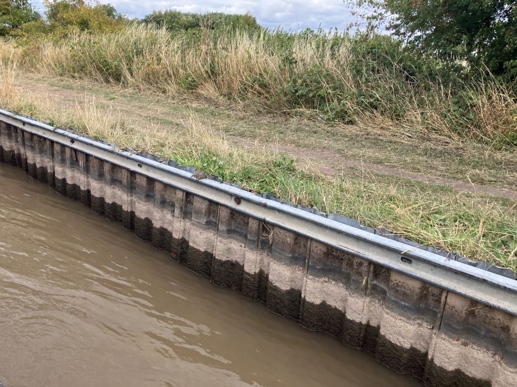
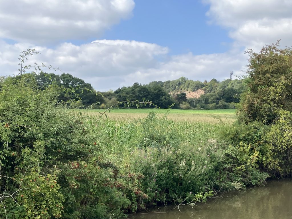
Some nice views of the more rural areas of the Coventry canal:
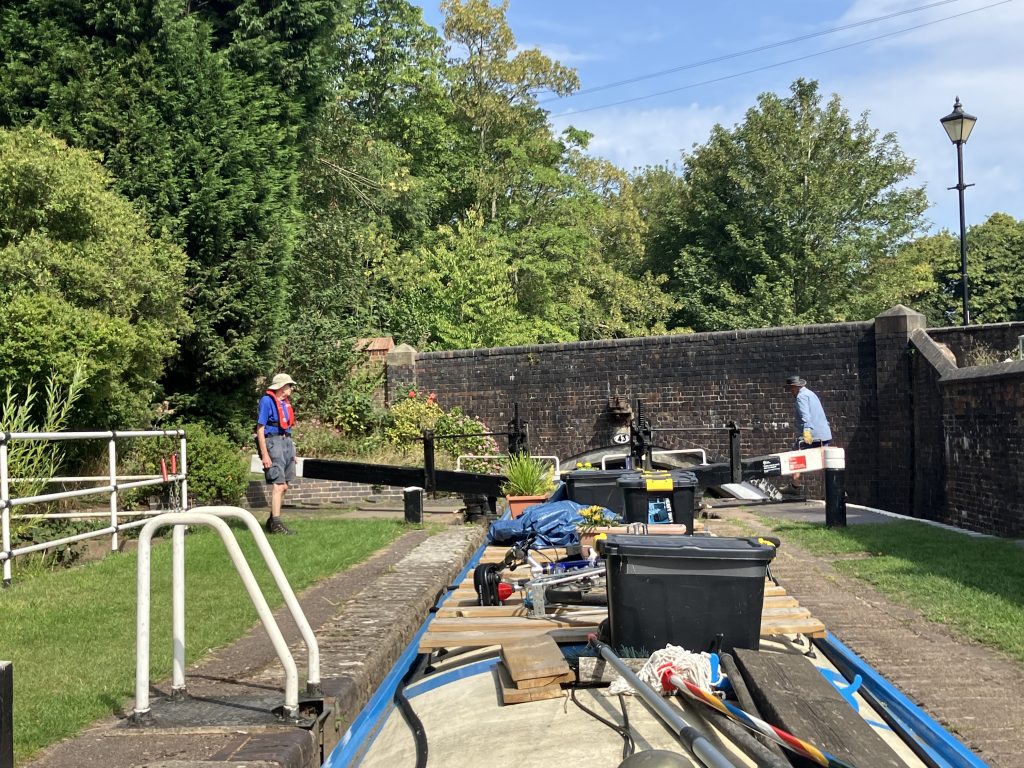
Then I arrived at the first locks in weeks. The Atherstone flight of 11 locks was on restricted time, only open between 10am and 2pm. It was getting very hot again and I was a bit worried that it’d be too much to go through all 11 locks in one go. Fortunately there is a stretch of moorings in the middle where I could stop over. Those moorings were noisy between the A5 bridge, the railway just behind the towpath hedge and a flock of screaming birds across the canal behind a fence. I didn’t find out what those birds were, my guess is an uncommon type of goose, but they were loud with two competing cockerels thrown into the mix as well. I sat out two very hot days in this cacophony.
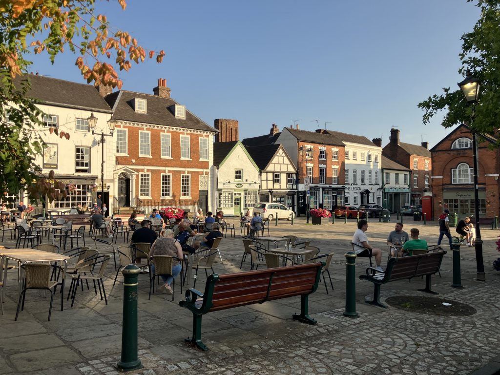
During my stopover I also explored Atherstone itself a bit:
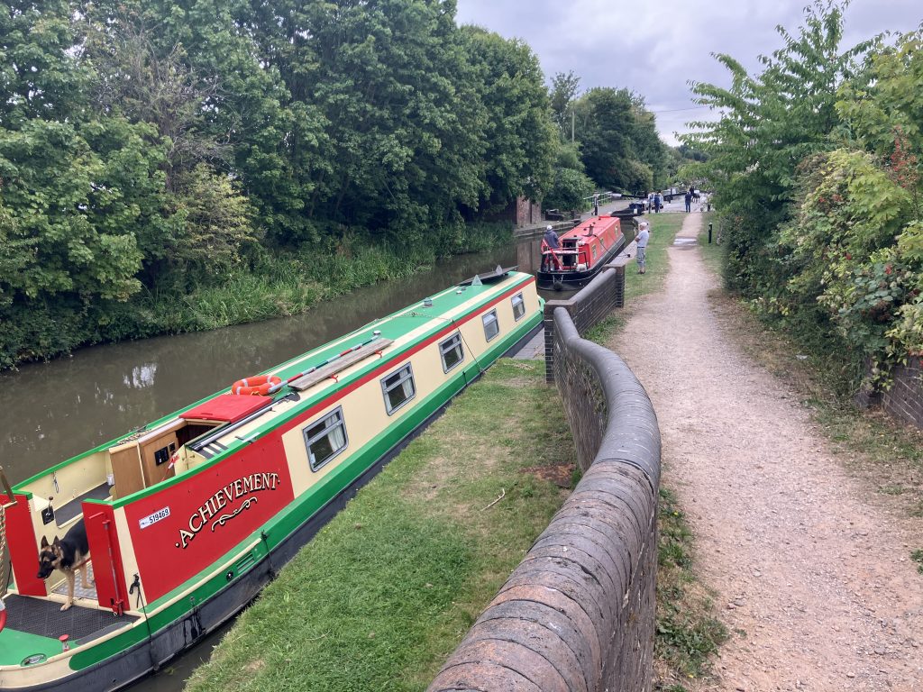
When I moved on from my noisy mooring, the water situation had degraded so much that some of the pounds (the stretch between two locks) were almost empty. Some deeper draughted boats grounded even in the “normal” pounds. There were several CRT volunteers though who did a great job to move water down through the locks as needed and get us all through. Everybody was scrambling to get somewhere before the locks close indefinitely for now.
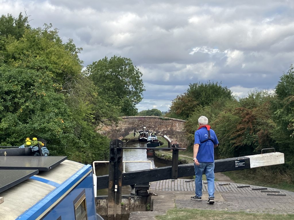
When the water situation is so bad, you become really conscious how much water a lock operation uses. Bundling the boats into 4 hours operation per day means that the water is used to maximum effect as boats go up and down the whole time and no water is wasted.
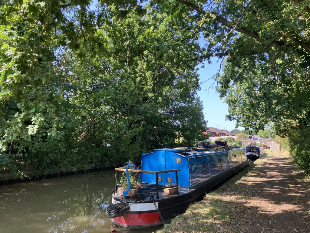
It was still very hot, so I sat out another couple of days under a lovely huge oak tree in Polesworth. The tree provided welcome shade, but also dropped all its acorns and some branches on my boat. The trees are also in so much distress in the dry weather this year.
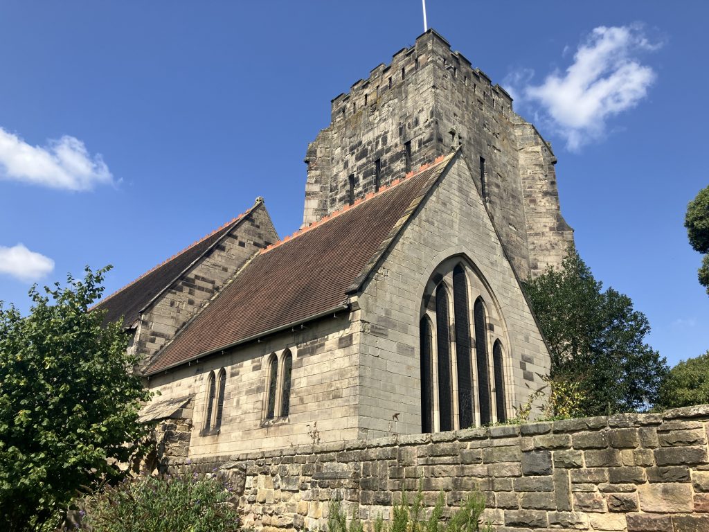
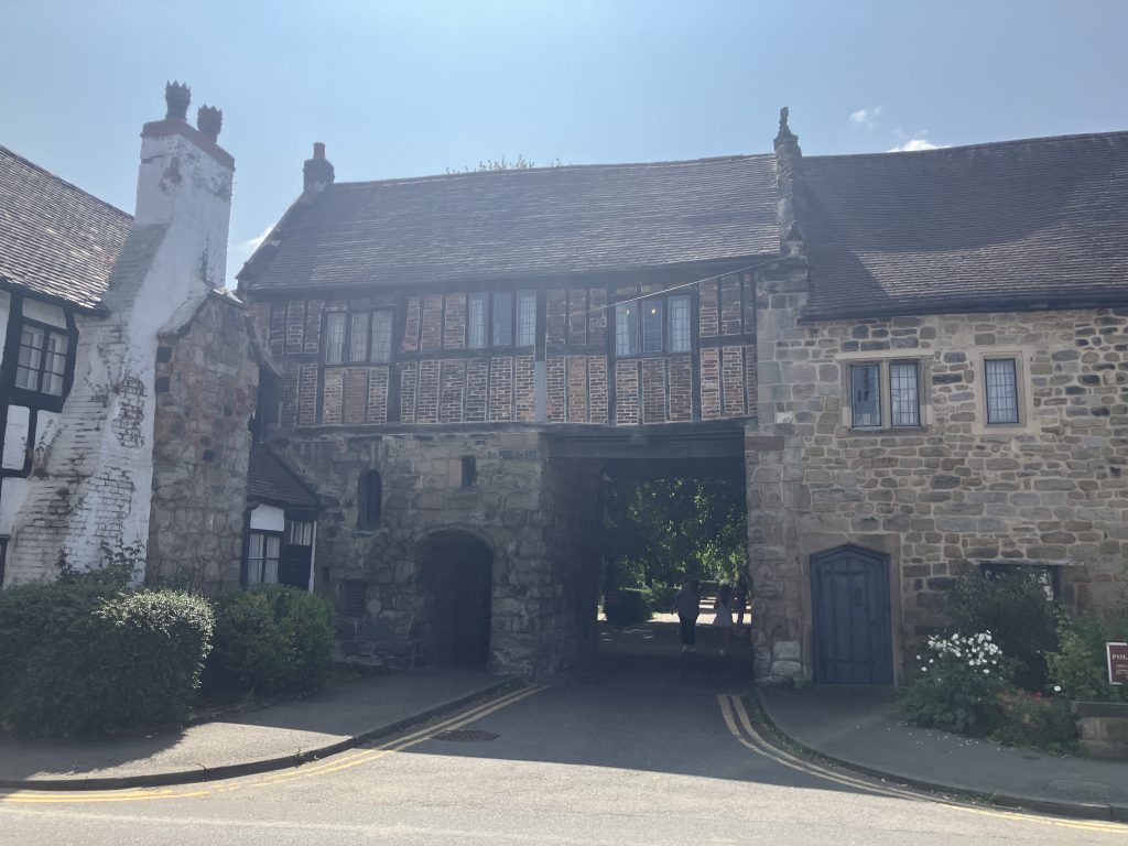
I visited Polesworth Abbey while I was there, an ancient nunnery which has some echoes of how big it was once. The church is beautiful and still the parish church in Polesworth.
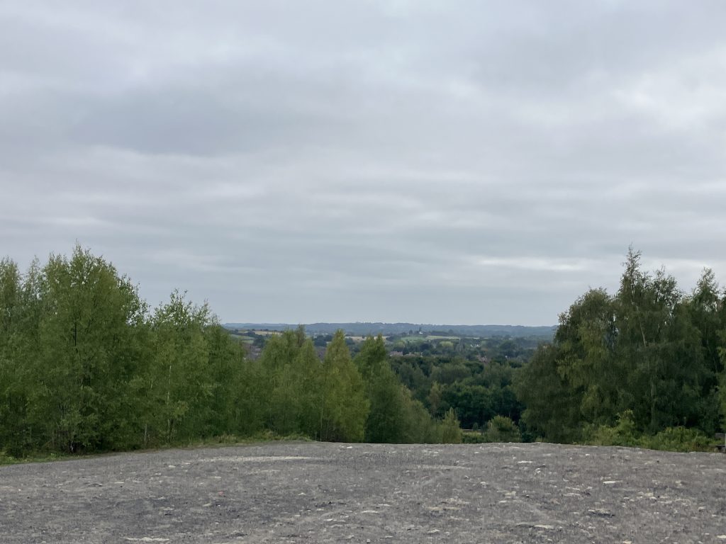
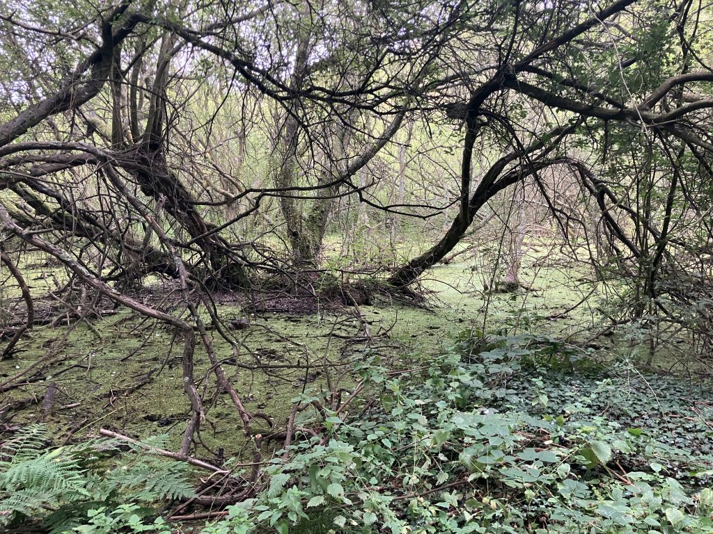
I also visited Pooley Country Park, which is located in old coal mine country. It consists of a big slag heap that gives views over the otherwise quite flat country and a number of lakes that appeared due to subsidence of the mines.
After my stopover in Polesworth I moved on to the last two locks at Glascote a few days before all the locks on the Coventry closed indefinitely. I expected a bit of a rush of boats trying to get through, but I did not quite expect a queue of 8 boats in front of me with two hours to go until the locks closed for the day. The inevitable happened and the top lock was padlocked right in front of me. Ah well, pole position for the next day.
Because there were so many boats waiting on both sides I had plenty of help and breezed through the two locks in no time the next morning.
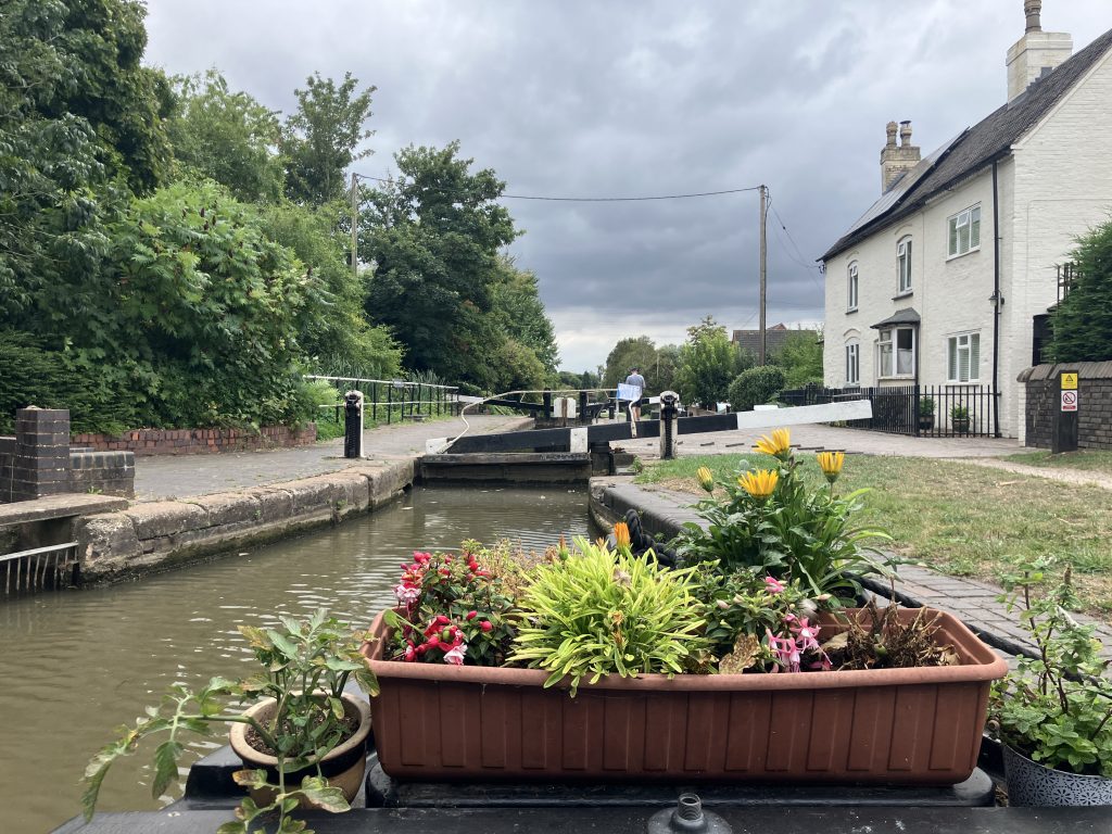
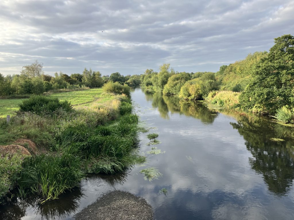
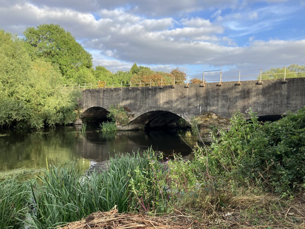
A short cruise from Glascote and I arrived at my chosen lockdown location for now. It is on an embankment above a nature reserve surrounding the river Tame. Very close to my mooring the canal crosses the river on a beautiful aqueduct. It is a great spot, if only there was a bit more water in the canal.
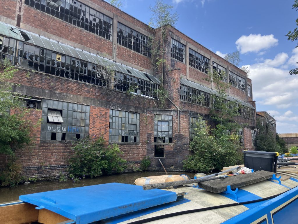
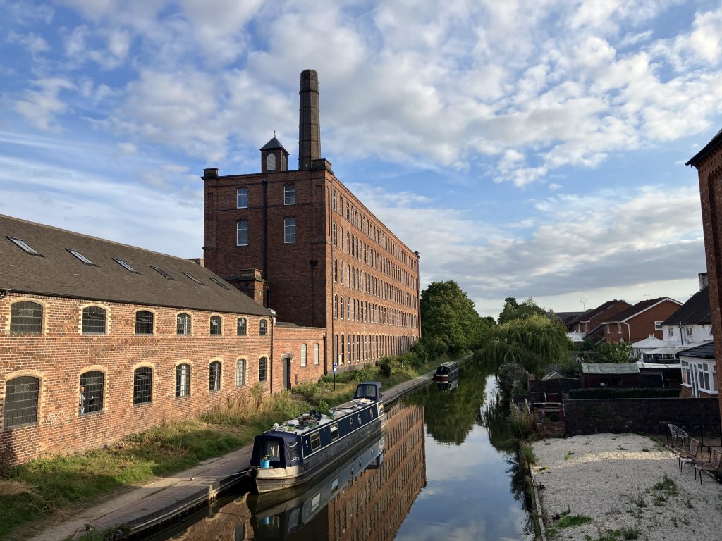
I am also very close to Fazeley junction, where the Birmingham & Fazeley canal branches off toward Birmingham. This converted mill building is at the junction. To me the whole setting heralds the proximity to Birmingham.
Great exploring.. so much history & beautiful views . Hope there is rain for you soon .
There has been some rain, but the water is still falling. Today I could feel the bottom for the first time 🙁
Such beautiful photos of what seems like a quiet and orderly mode of transport. Who’d have thought it could be so fraught! Best wishes for wherever you end up waiting this out.
I really hope that I can stay here and that I can stay afloat!
Hope you get rain soon. It looks very peaceful on the Tame. Shame the weather has been too good I guess. I’m glad you haven’t come across too much rubbish in the water. You weren’t tempted by an Indian take away then! 🙂
Oh I did have a nice Indian meal in Coventry actually :))