Please send some water – Southern Oxford canal Banbury to Braunston
The journey continued on the Southern Oxford canal from Banbury to the North across the summit of this canal (more on this later), down the other side and on to a major centre of the waterways – Braunston.
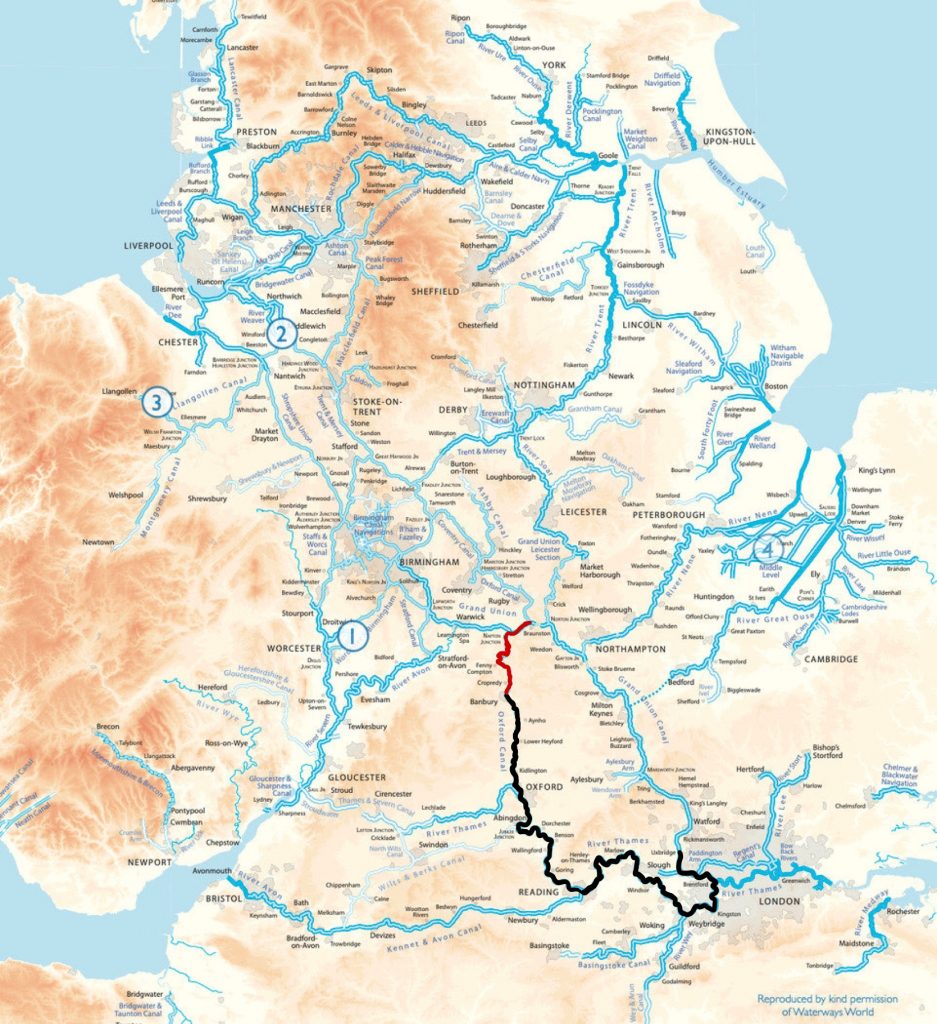
Leaving Banbury to the North, the canal design changes significantly. The Oxford canal was built from north to south. By the time the canal reached Banbury, funds were running low and costs had to be cut. This resulted in cheaper wooden lift bridges for farmers rather than stone or brick bridges and also single bottom gates on the locks instead of double gates. For some reason the stone bridges that mainly carry roads are also much lower south of Banbury (as I have experienced several times if you remember!).
So proceeding past Banbury for me meant no more lift bridges as the farmers’ bridges (“accommodation bridges” for access to the land) are all stone or brick here and of decent height too.
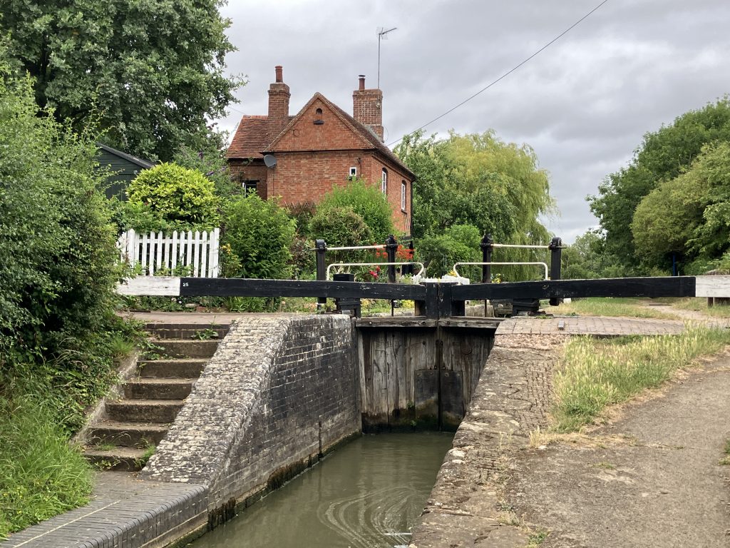
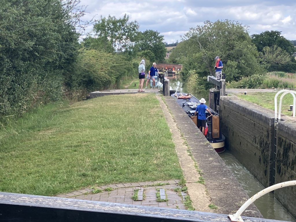
The other difference is the double-gated lock design (see pics below). The bottom gates of the locks are split into two smaller gates instead of one big gate. The single gates between Oxford and Banbury are sometimes very heavy to move when the locks are deep. The double gates are much lighter and can be moved with one hand. Easy! But this has a big downside for single-handed use. The single gates can be opened and closed from one side, so it is never necessary to walk around the lock. Double gates need to be opened and closed from both sides. The slow and safe way is to open one side, then walk around the lock and open the other one. The quick and risky way is to jump across the gap onto the gate on the other side.
Unfortunately I can be quite clumsy and have a problem with heights. This stepping across happens when the lock is empty and the abyss looms under you! So more often than not I am walking around even though I am tall enough to step rather than jump across the gates. But falling into a lock from a height is one of the worst things that can happen on an otherwise quite safe canal. Ah well, I am not in a rush fortunately.
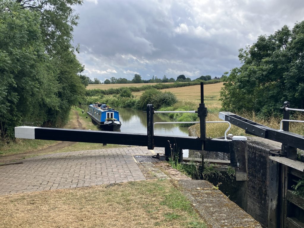
Another slightly awkward feature of some locks in this area is the “funnel” approach of the lock at the bottom. Mostly locks have steps up the side and I usually step off just before the lock, walk up with the rope and let the boat drift into the lock. On these angled walls this is not possible as the boat needs to be threaded very straight into the middle and the walls on the sides are then too far away to step off. This means that I mostly have to use the slimy ladders in the lock to climb up. Another opportunity for my clumsiness to strike.
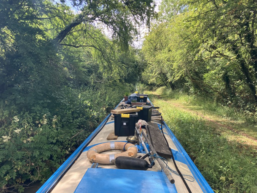
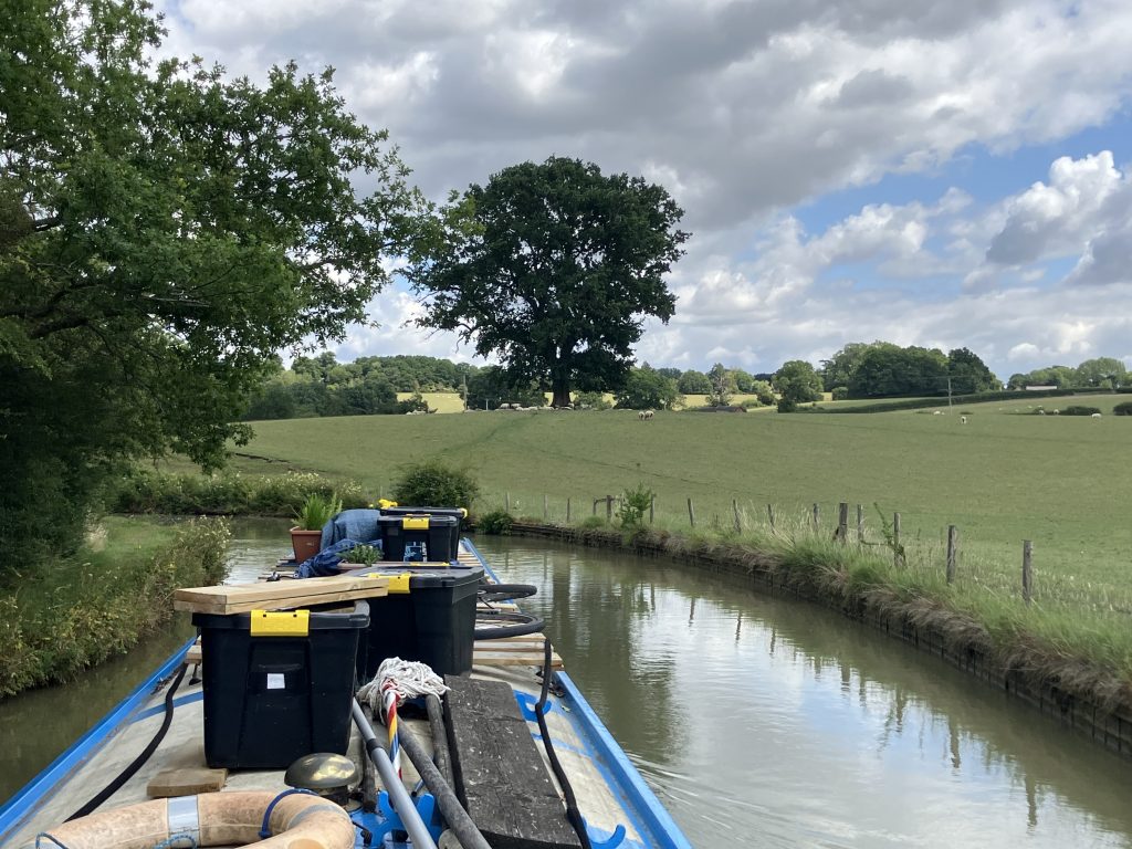
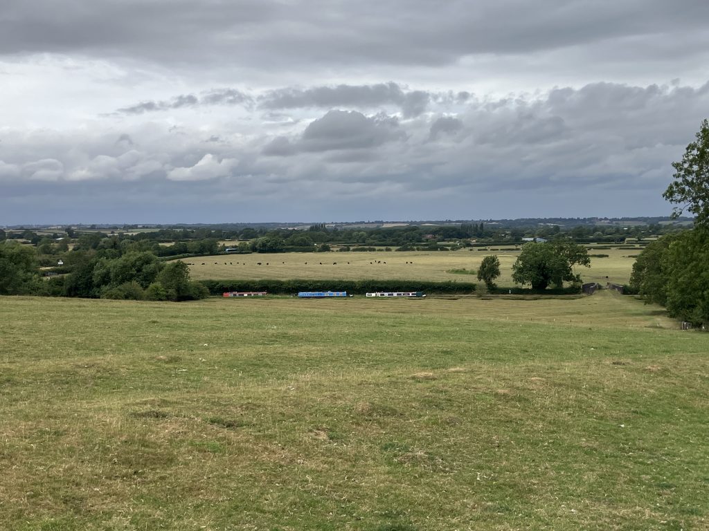
But back to the actual cruise. The canal out of Banbury is a bit non-descript for a while with hedges framing it both sides obscuring the views and crossing under several big roads and motorways. Only approaching Cropredy the vistas open out again over lovely undulating fields.
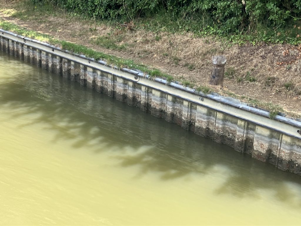
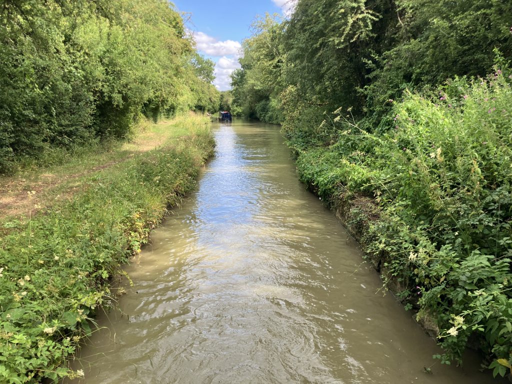
I traversed a stretch that just a week before had been closed in order for water levels to recover. Fortunately they reopened it even without any rainfall in between. The level on that stretch was indeed very low, about 20cm below normal. Lack of water will be a common theme throughout this summer unless we get very significant rainfall at some point.
I was then approaching the summit of the Southern Oxford canal. Many canals have summits. It is a grand word for the stretch of canal where locks go up one side and down the other. The Oxford canal has a summit level over 10 miles long (no locks!) and runs at 125 metres above sea level.
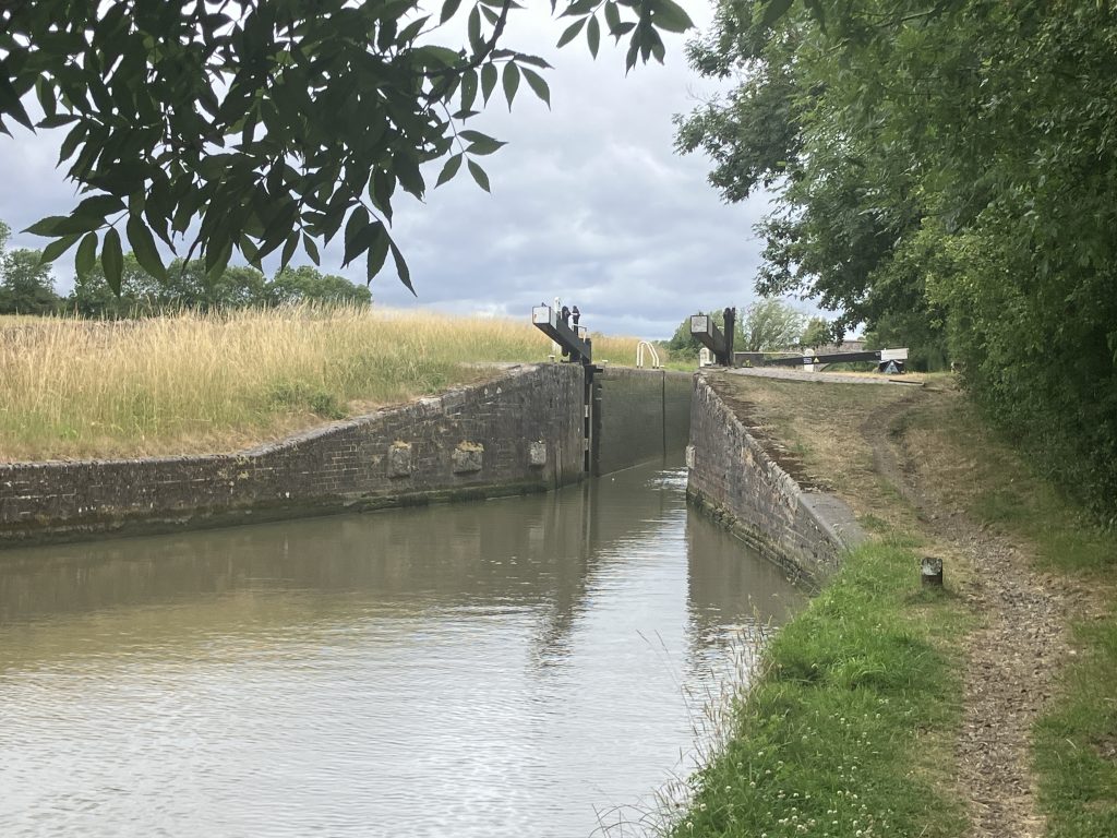
The lock flight up to the summit is the Claydon locks, five in short succession. By the time I arrived at the bottom they were only open for a few hours each day in order to let the water levels recover. It did not bode well that there had been warnings of complete closure if the water situation did not improve.
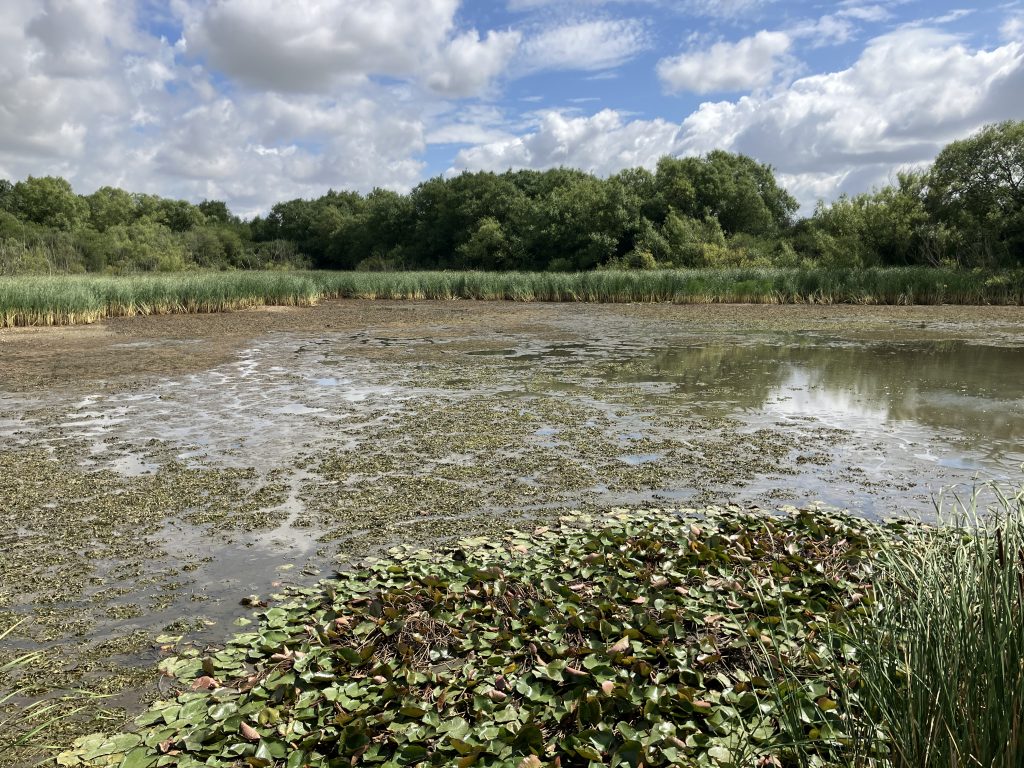
Summit levels are especially vulnerable to droughts as water drains from it on both sides through the locks. I visited one of the reservoirs that feed the summit and one side was completely empty. It was a devastating sight and made me think that they probably would not be able to keep the canal open for very long.
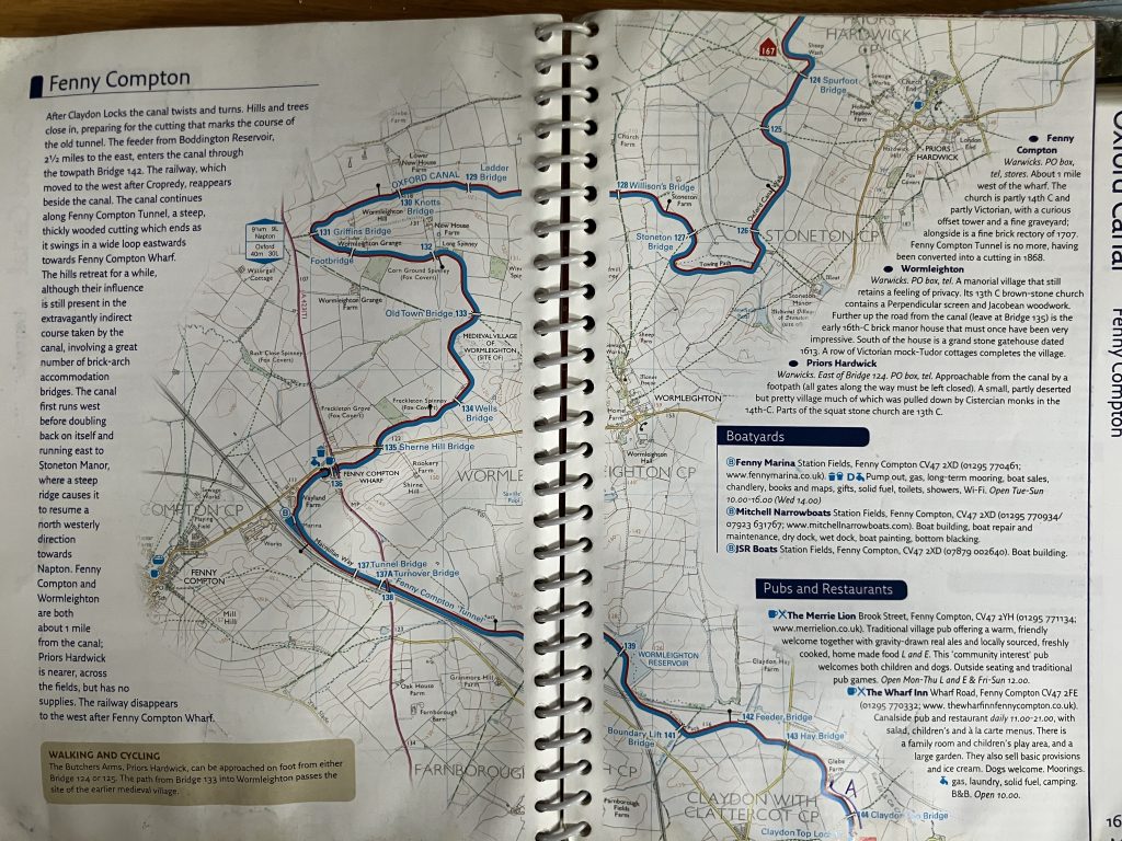
The land around the summit level is quite hilly and being a contour canal the canal meanders around the hills a lot. Just look at this page in the guide!
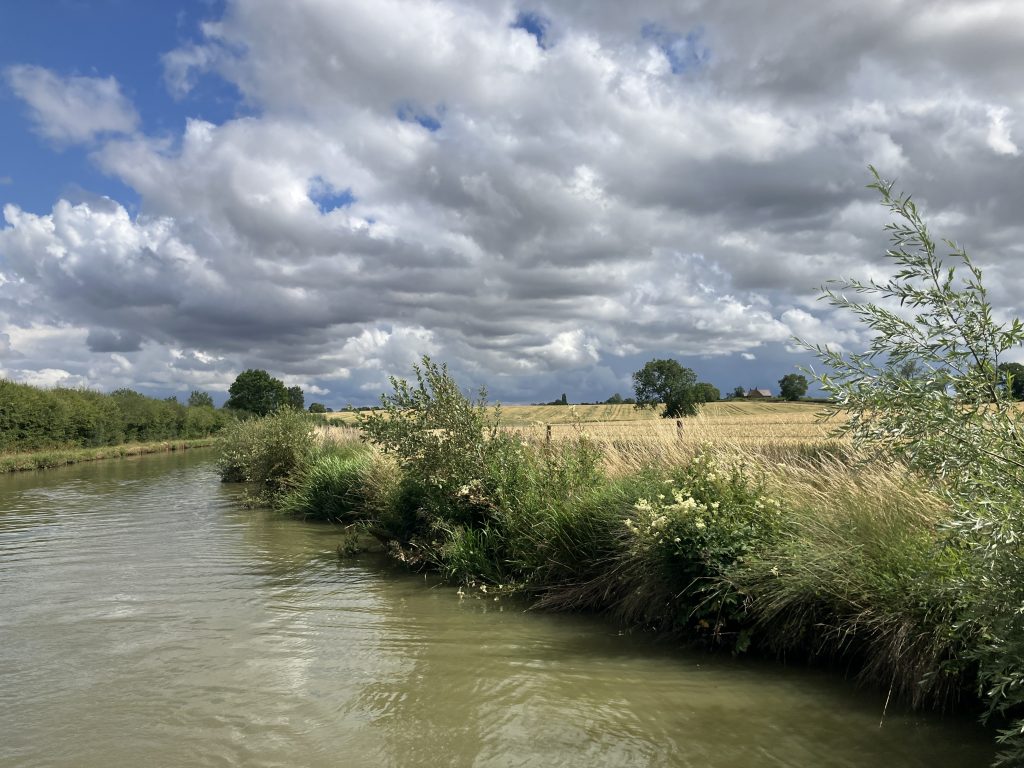
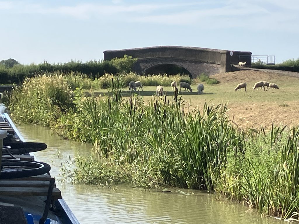
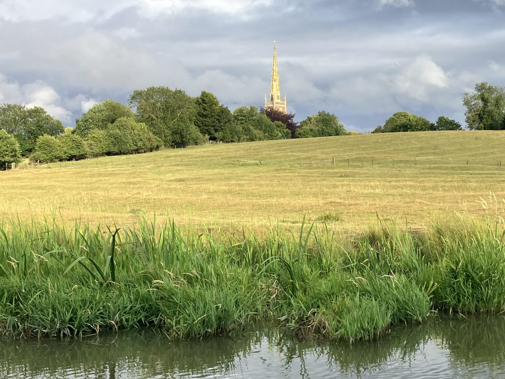
The summit is a stunning part of the canal though. It is so remote, there are no villages or even road bridges or roads nearby for several miles. The fields here have been farmed for centuries as evidenced by the ancient ridge and furrow patterns in many places (sadly these patterns didn’t photograph well). It is one of the most tranquil and scenic places I have ever seen in England.
Near Fenny Compton there is an interesting feature, a “tunnel” that isn’t really a tunnel, but a very straight and narrow section. You can see it in the guide book on the left hand page. The “tunnel” section is about a mile long and was originally built as a tunnel into the hillside. I don’t really understand why it had to be a tunnel as it looks like the canal just runs along the hillside, But I’m sure there was a good reason. When the tunnel proved too costly to maintain, it was opened up by removing the roof instead. Traversing this needs full attention to not scrape the rocky walls!
But most of all the summit pound is beautiful and quiet.
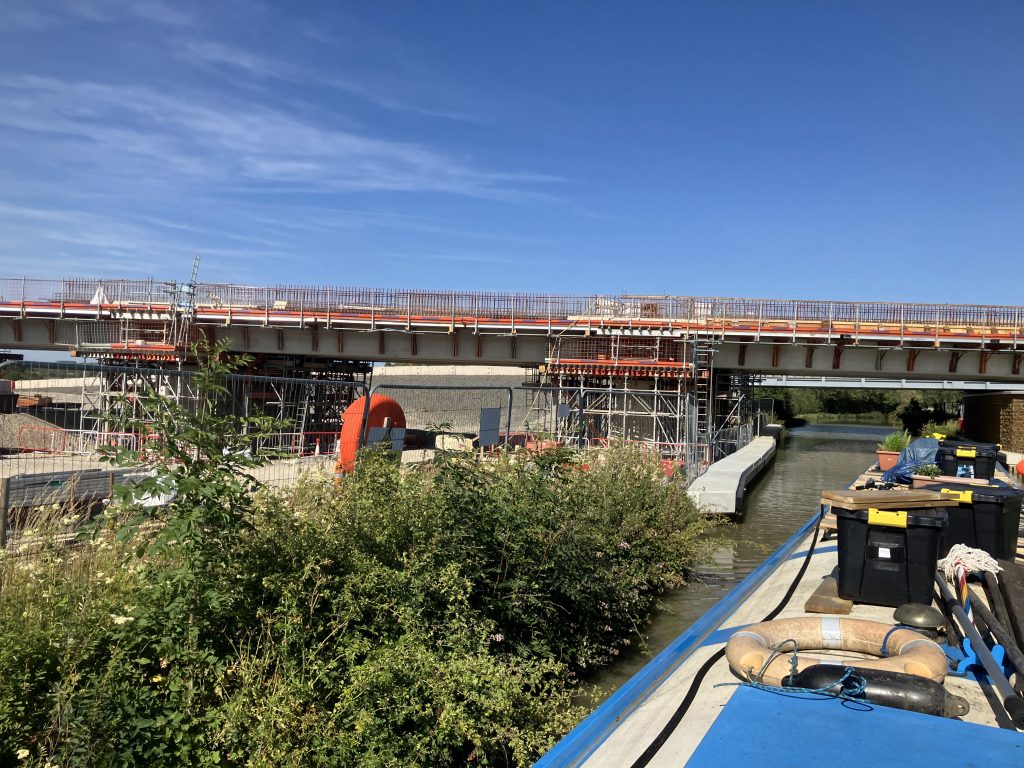
And then … suddenly you come to the great gash that HS2 is tearing through this tranquil landscape. Access roads, massive bridges and viaducts, machinery, noise, and spoil heaps everywhere.
I felt right at home as near my home mooring in Uxbridge HS2 has ripped up the Colne Valley in a similar fashion. Urgh. As the canal meanders around it encounters this abomination several times.
It was a few days before the next heatwave so I couldn’t hang about on the summit for too long. There are no shops anywhere and I needed to get down the other side for supplies, before cruising became impossible for me again because of the heat or even potential closures.
So I made my way to the lock flight to go down into Napton. As the day was relatively cool and overcast I decided to move through the 9 locks down to Napton on the same day as the weather was only going to get hotter. I arrived half an hour before the locks were opened at 10am and was already 5th in the queue. We stood around chatting waiting until an official came to unlock the gates as the weather got warmer. I started to have doubts about continuing in the heat, but now I couldn’t really bail.
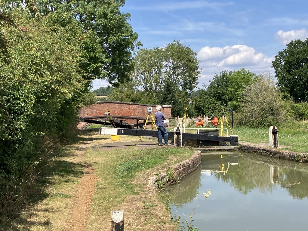
The first three locks are spaced some distance apart and went well without incident. The next six are in a flight close together. In the second lock down in the flight there was a team of engineers surveying the state of the lock walls holding everybody up for another hour. The queue from the top reunited to wait again. After the hour had passed they started to let one boat through, then did 15 minutes more of surveying, then let another boat through and so on. It took forever to get the whole queue of about 8 boats through that lock. By that time the sun was fully out and I really suffered.
Fortunately I had some help from the people behind me to speed things up a bit. After 6.5h out in the sun we arrived in Napton. By that time I was really not feeling well and moored up in the first space I could find.
The next day the heatwave started properly and I was again stuck for several days. At least Napton has a lovely little village shop for some fresh supplies and a nice canalside pub.
As the heatwave got going again I received a notice that the locks both up to the summit (Claydon) and down from the summit (Napton) would be closed completely in about a week’s time because of lack of water. It was absolutely the right decision to speed up to come down before the closure. I feel very sorry for the many people who have booked hire boats on the Southern Oxford canal and are now not able to experience this exceptionally beautiful canal.
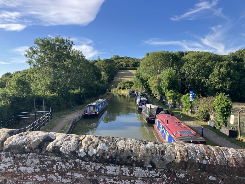
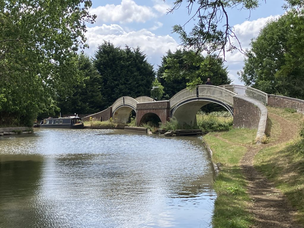
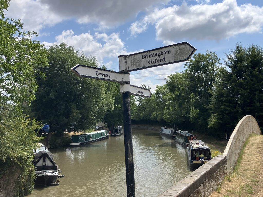
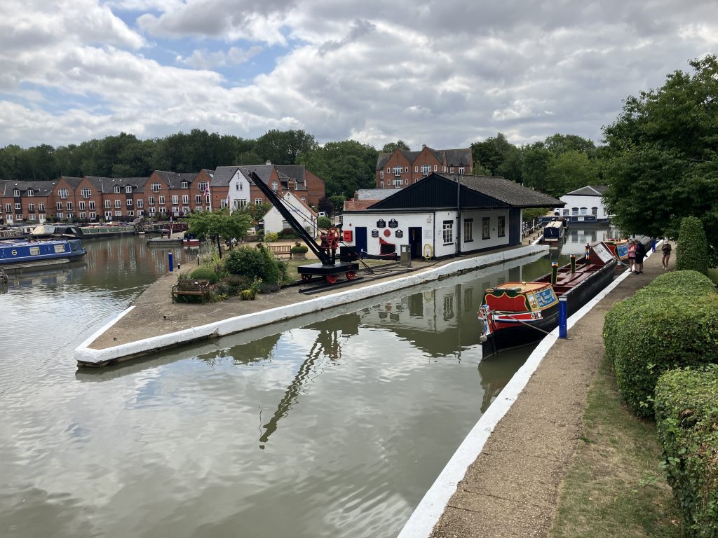
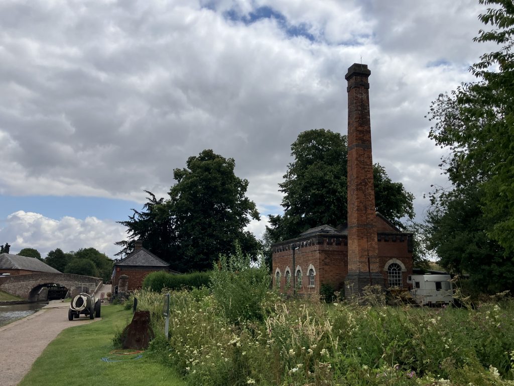
As it got to 30 degrees again I hung about in Napton for several days, then when it got slightly cooler made my way to Braunston, the centre of the canals in the Midlands. Braunston sits at the junction between Oxford and Grand Union canal and is always a special place to arrive in. There are historic boats, lots of craftspeople from fender makers to restorers of wooden boats and it just has lots of boats and a general buzz about it.
Here are some impressions:
The next stretch from here will be the Northern Oxford canal. For now there are no planned closures, but that can change any time. Keep all fingers crossed please …
I think you maybe slightly ahead of the heatwave and, there’s a forecast for rain .. hopefully you make it back.
Ha I am not coming back for the foreseeable future 🙂 But I hope it will get wetter and cooler as I move further north.
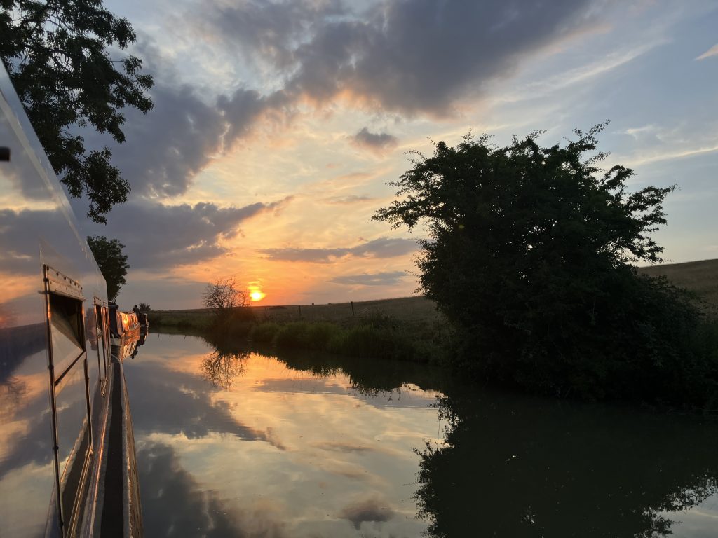
I would never have thought canals could be closed but conserving the summit drainage during a drought makes sense. What luck to get to Napton. Looks amazing! Lovely sunset photo, too.
Oh yes, they padlock the locks before it gets so low that people get stuck. Then they’d be in bigger trouble!
Following your blog now 🥰
Safe travels lovely x
Very sound idea.